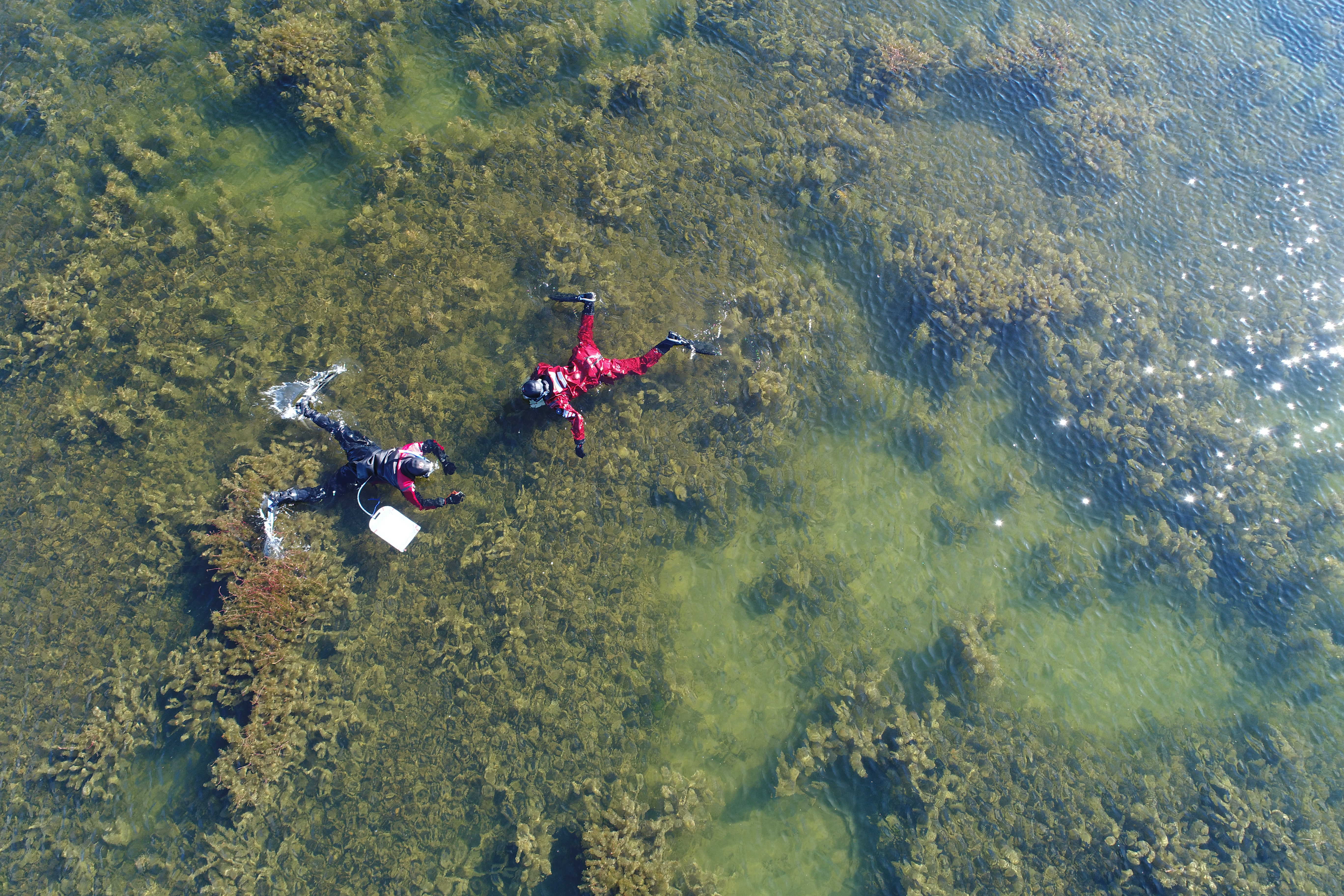
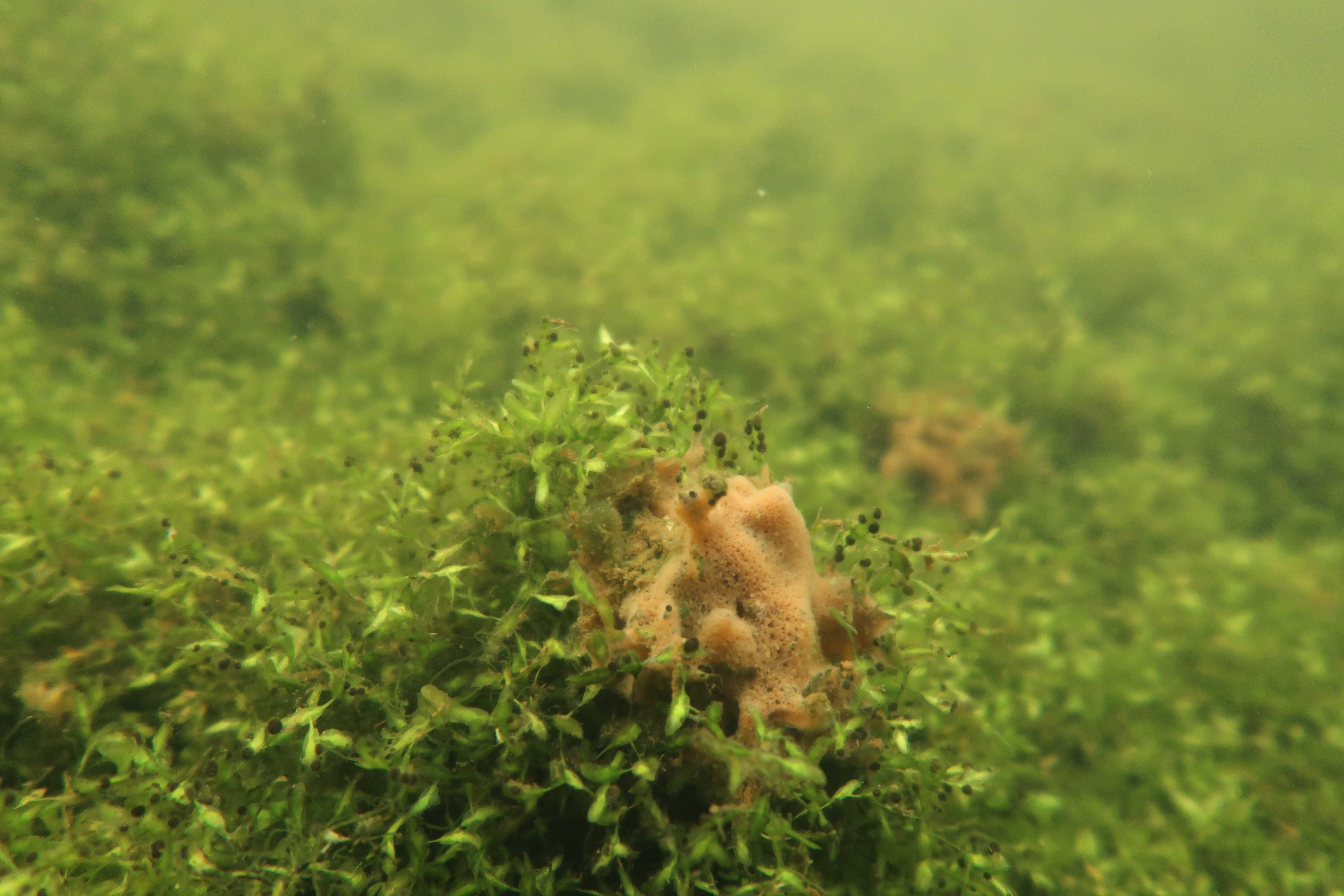
Underwater vegetation is something that a person rarely
notice. Reed push thru the
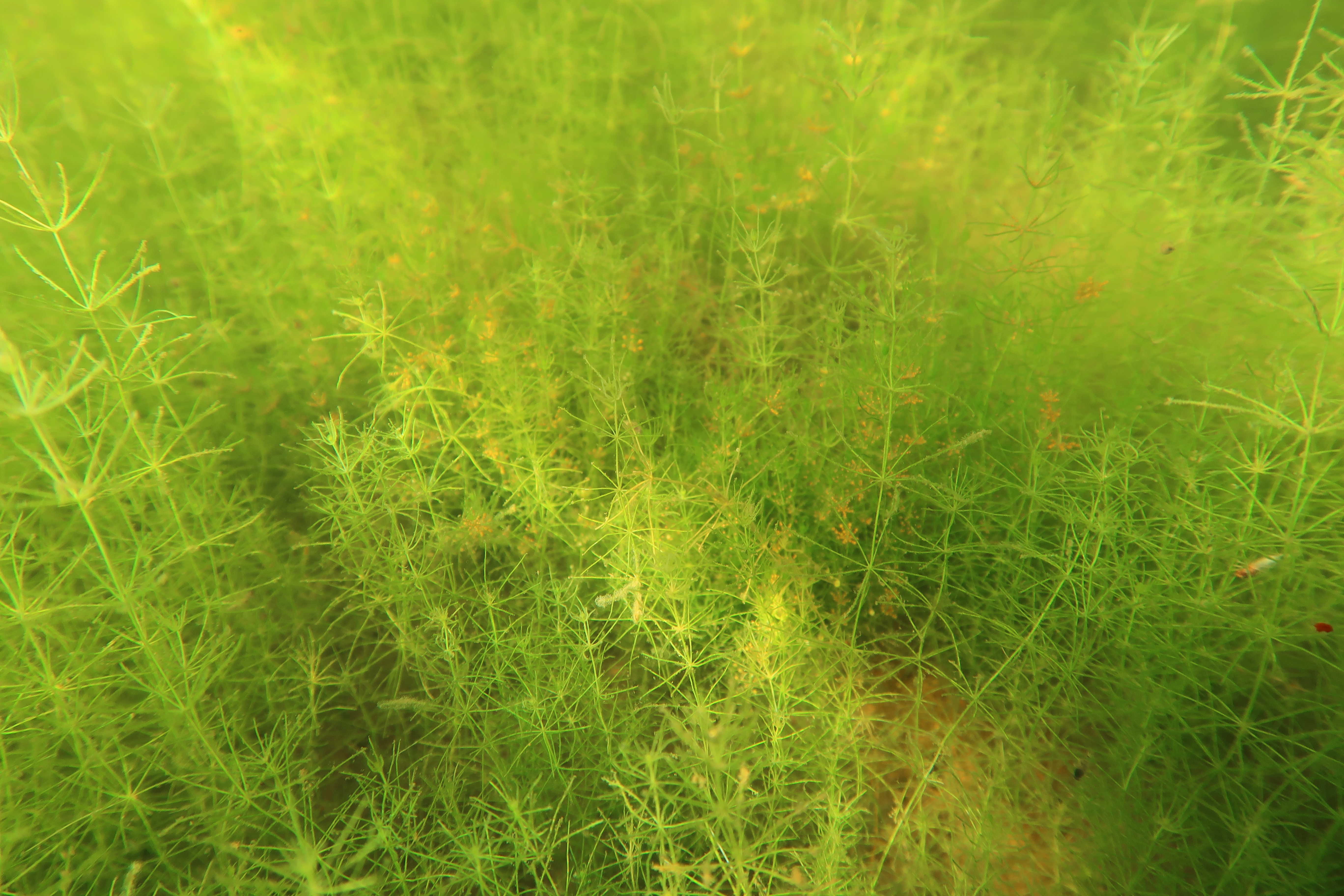
surface and underneatch you might get a glimpse of pondweed and watermilfoil.
The amount of vegetation that reach the surface may seem sparse, but on the
bottom might be a jungle hiding! Large and small Charophytes cover large areas,
when again pondweed and watermilfoil form luscious meadows. Where the sight is
good and sunlight easily penetrates the water until the bottom rich flora occurs.
As terrestrial plants, aquatic plants have also the need for sunlight for photosynthesis.
The growth and survival of these plants
directly correlates with the amount of penetrating light. Murky water makes it
hard to thrive.
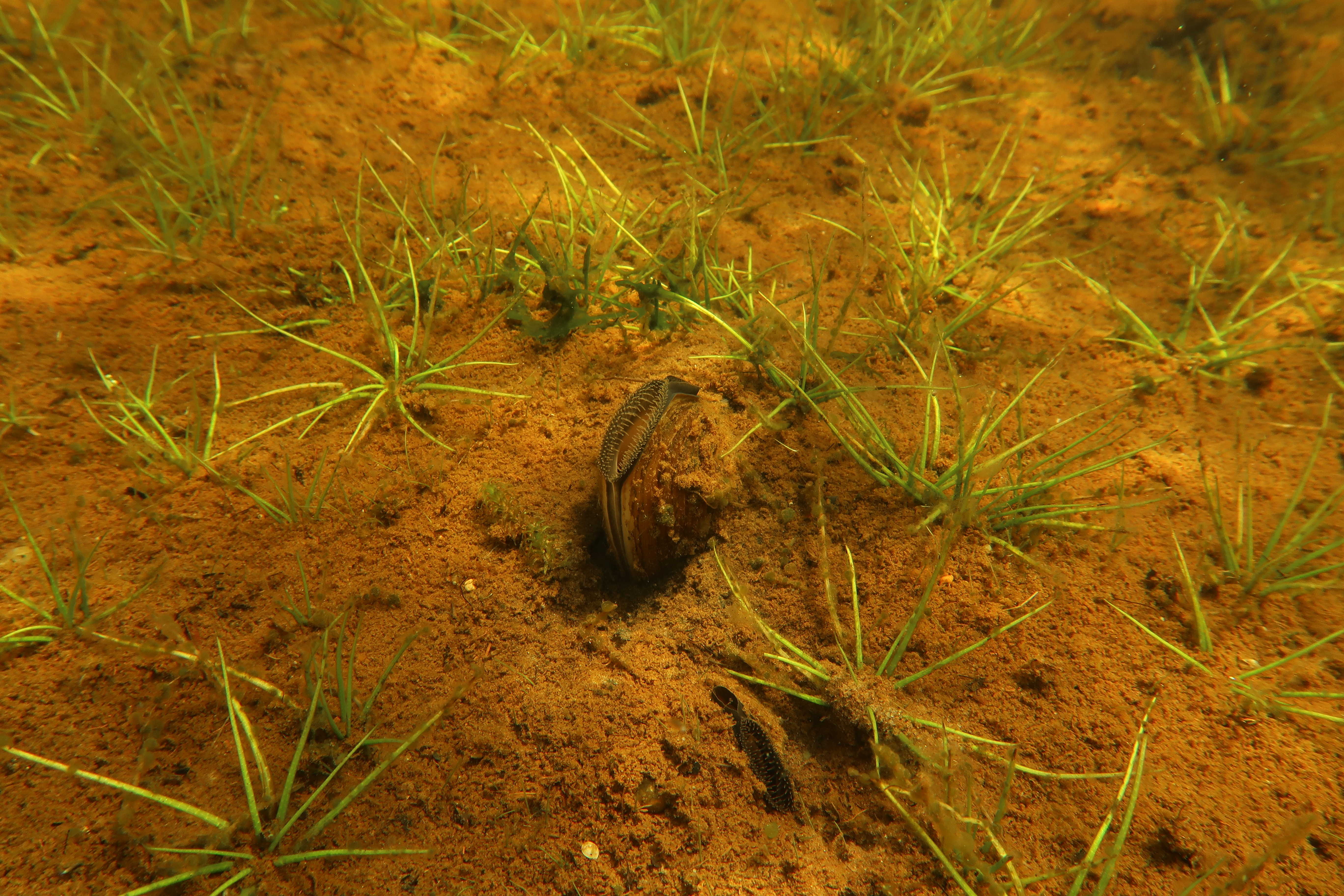
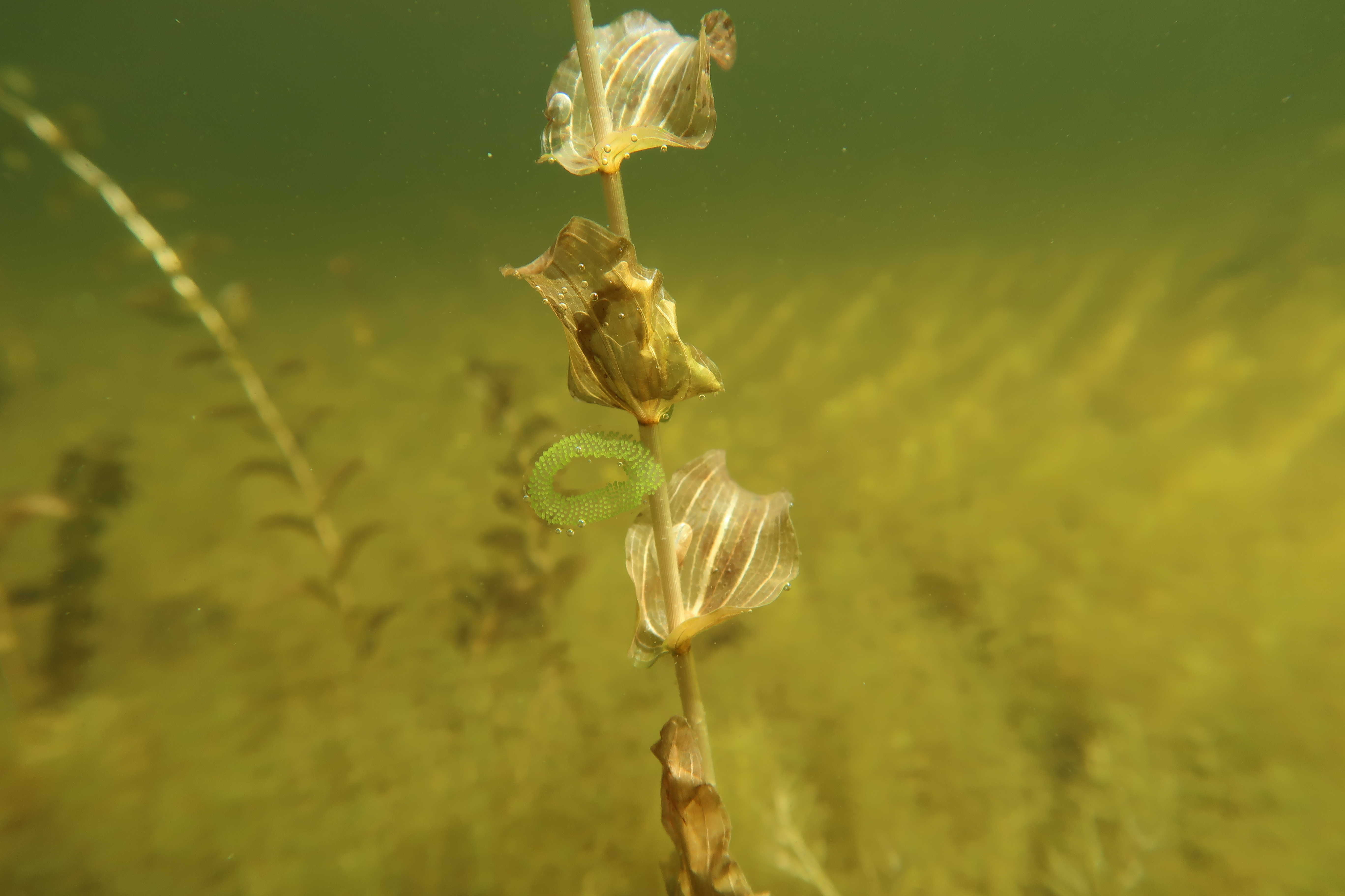
The aquatic
vegetation is of great importance for the fauna. It offers protection from
predators and creates important habitats for several species. Perch attach its
roe on weed fallen during the winter and pike seeks it for protection. Later
during the summer other aquatic plants offer places to hide for small and bigger
fish but also as food.
Not only
fish gain from aquatic plants. Humans benefit as well from a rich vegetation. It
binds impurities of the water and their roots stabilize the soft bottom.
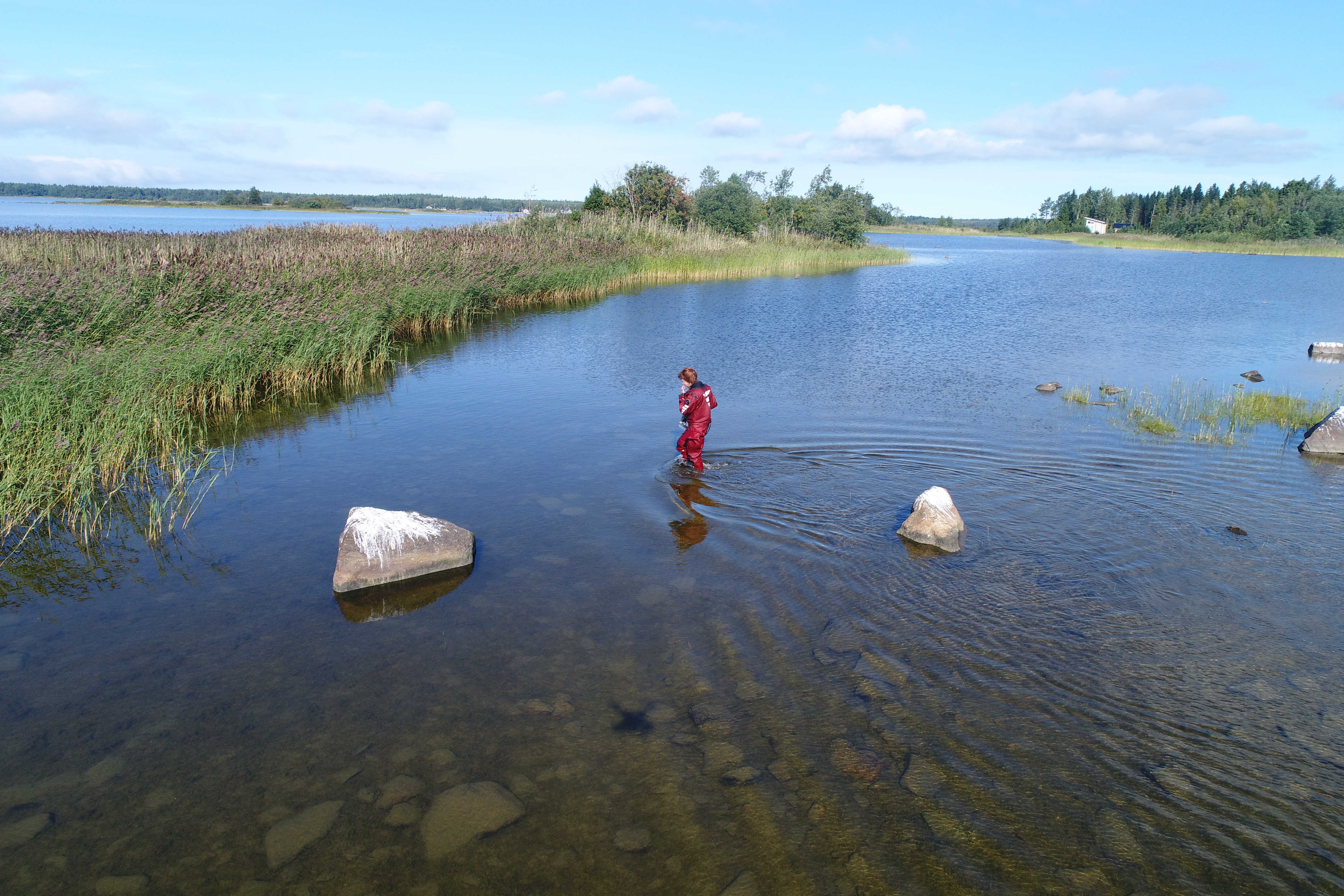
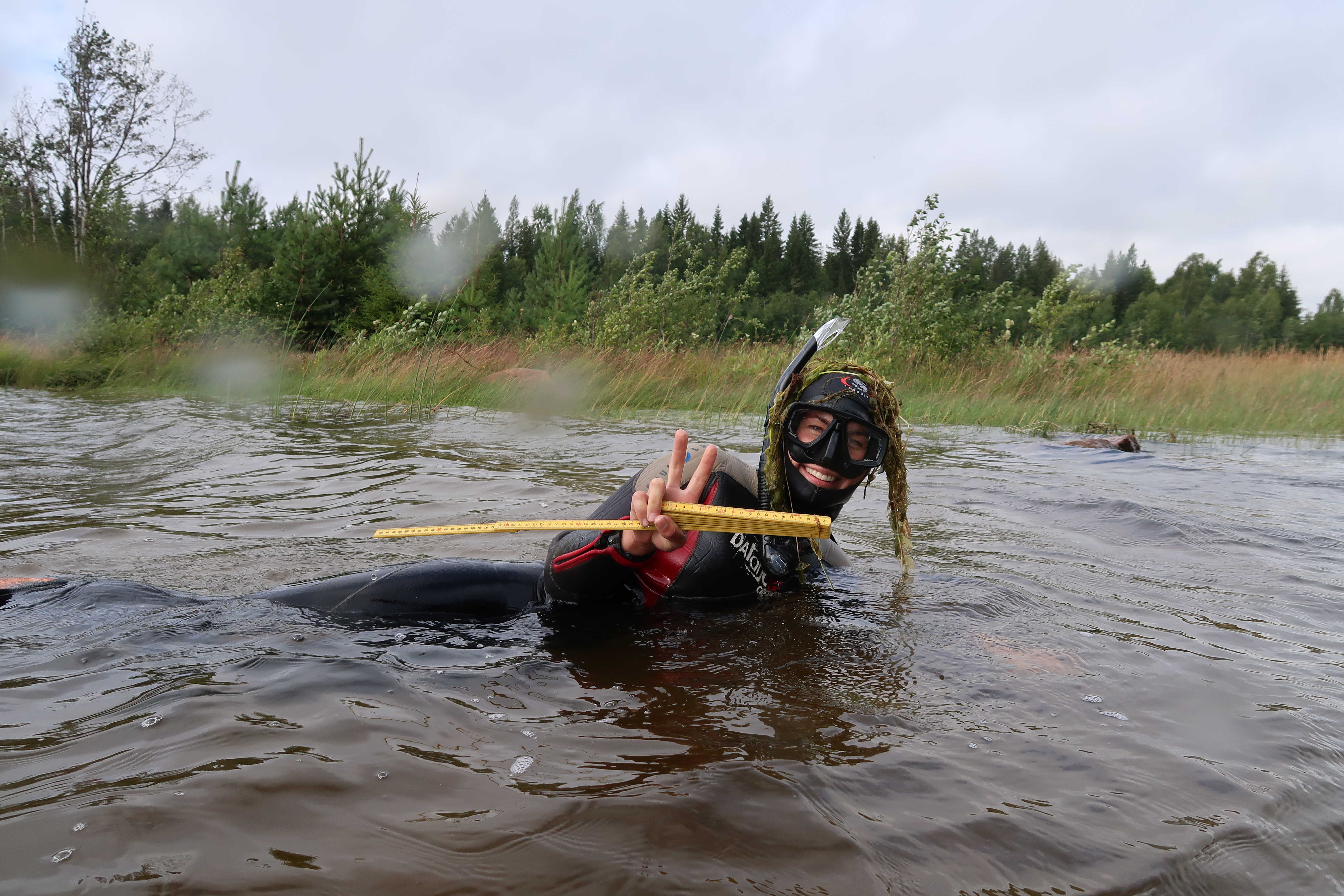
In the
project the species as well as the proportional coverage of the bottom were
surveyed. A snorkeler made 50cm x 50cm squares on the bottom, depending on the
size of the flad 30-100 squares were made. It is hard for a snorkeler to make
larger estimations about the vegetation coverage in a flad since the sight is
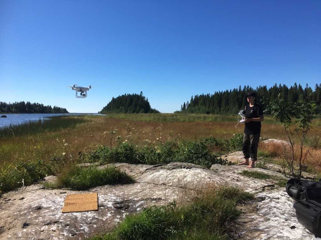
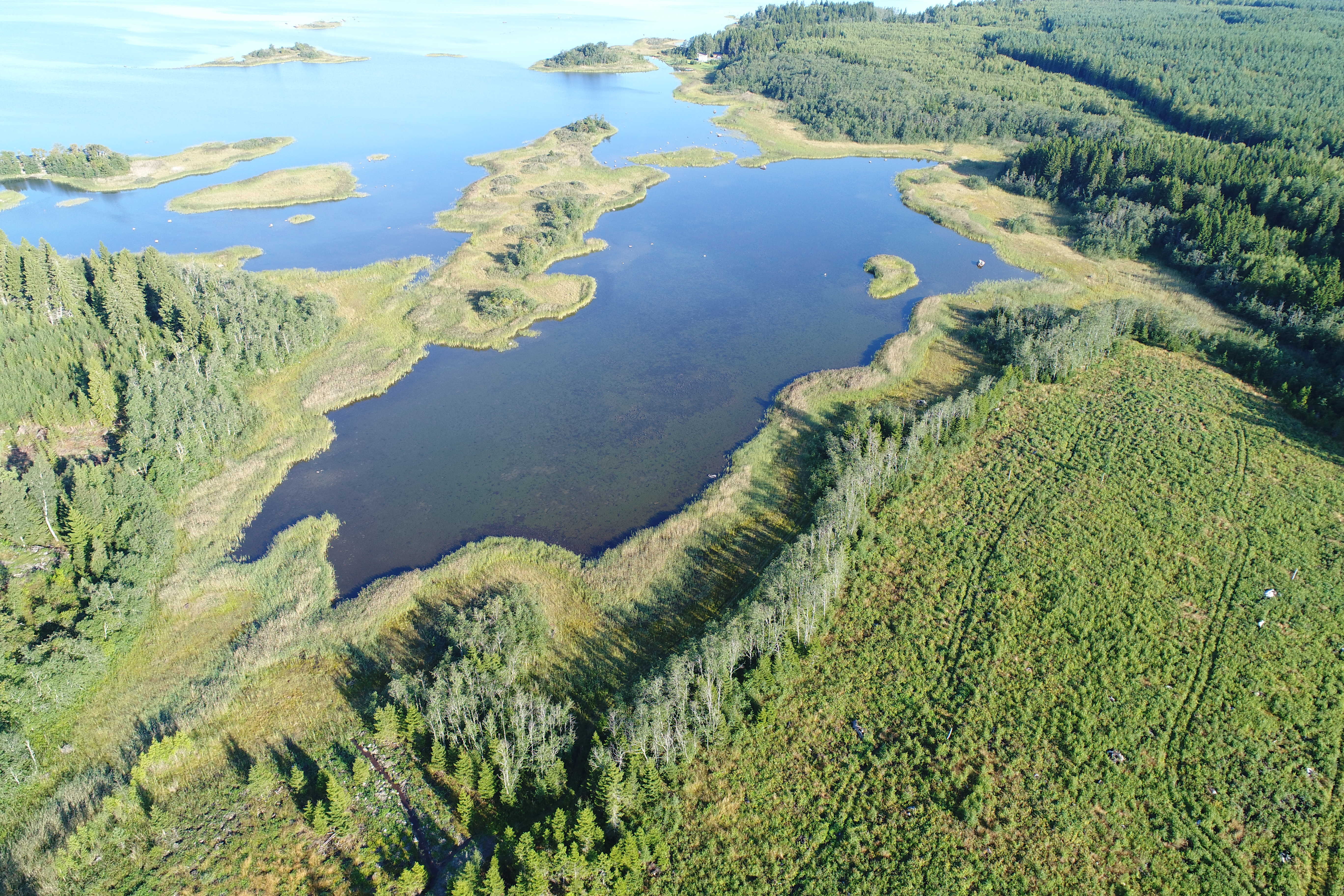
restricted. This information was gathered with the help of a drone. A program
called Pix4D was used. With this program you can choose exactly the area you
want to fly over. The program automatically takes pictures of the area in
predefined distances. Later it creates an orthomosaic of this pictures. This
one big orthomosaic is very precise and in shallow flads with good visibility
you can exactly see where the vegetation is. This information can then be
combined with the information gathered by the snorkeler and like this quite
precise information of species distribution can be achieved. The information of
the vegetation can later be compared with the information collected in the fish
surveys to see, if any correlations can be found.